5 Activities to enjoy in Fife this Winter
22 Nov 24
9 MIN READ TIME
01 January 22
Outdoor
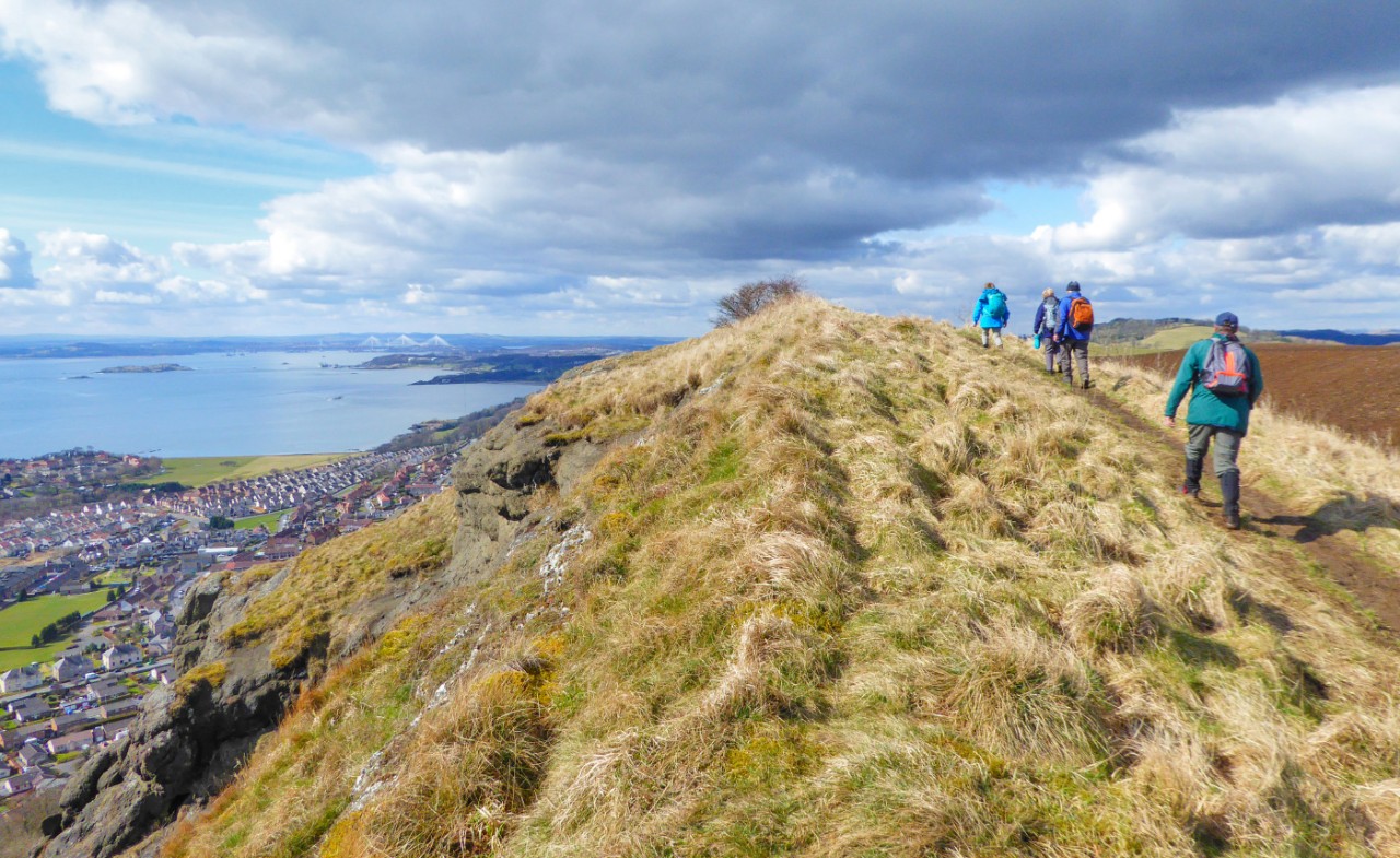
There’s nothing quite like a coastal hill for a panoramic view, and this rewarding ‘sea to summit’ walk shows you one of the best views on offer anywhere on the Firth of Forth. Along the way you will pass through the interesting Ecology Centre at Kinghorn Loch.
Time: 2.5 – 3.5 hours
Distance: 8.65km
Ascent: 175m
Path info: Pavements and a couple of road crossings in Kinghorn, then a mix of farm tracks, and surfaced or grassy paths almost all the way to The Binn. The final ascent is on a well-marked grassy path along field edges, but it can get muddy. Please note this walk skirts around the edge of a golf course, so be vigilant and considerate when golfers are present.
Start & Finish: The seaside car park off Pettycur Road in Kinghorn. Google Maps: bit.ly/kinghorncarpark OS grid reference: NT269866
Public transport: Buses run along Burntisland Road, just ask to be let off at the golf club entrance and you can then join the walk from there. Kinghorn railway station is also very close to the walk start.
Information: The Craigencalt Trust manages the land and paths around Kinghorn Loch, see their website for a map of the trails leading up to The Binn
Refreshments: Plenty of options at the start and end of the walk in Kinghorn itself, or there is the Nest Cafe en route, at Kinghorn Loch
With the sea behind you, turn right out of the car park entrance onto Pettycur Road, and then take the first road to your left, onto Park Place. After about 200m join Macduff Crescent and then veer right over the railway and stop at the main road.
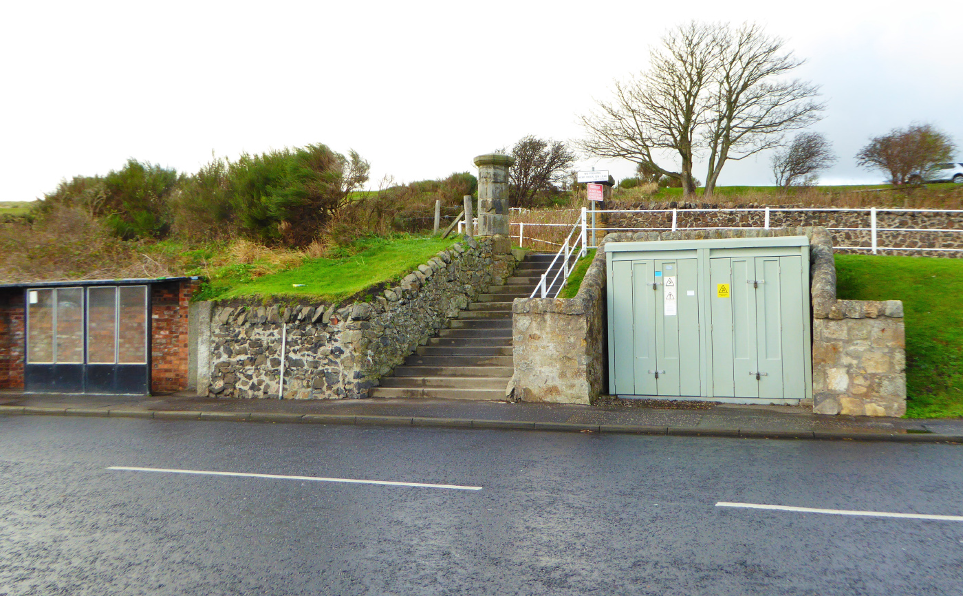
On the other side of the road you can see some stone steps that lead to the golf course clubhouse. The safest place to cross the road is a little to your right, towards the bus stop. Cross the road, climb up the steps and then follow the golf road up towards the clubhouse. Before you reach the clubhouse you will see a small hut to its right.
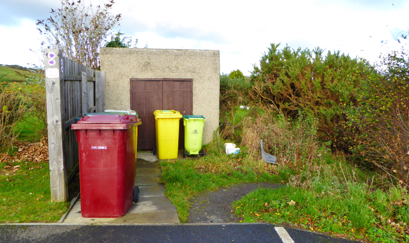
Take the rough path that passes to the immediate right of the hut and heads into the bushes, and you then emerge onto an open grassy area between the golf course and the playground. You are skirting the edge of the golf course here, hence the netting to your right, but access rights do apply. Be vigilant for stray golf balls though!
Head straight on across the grassy area as it climbs slightly uphill, aiming for a large barn at the top of the slope, to the left of the houses.
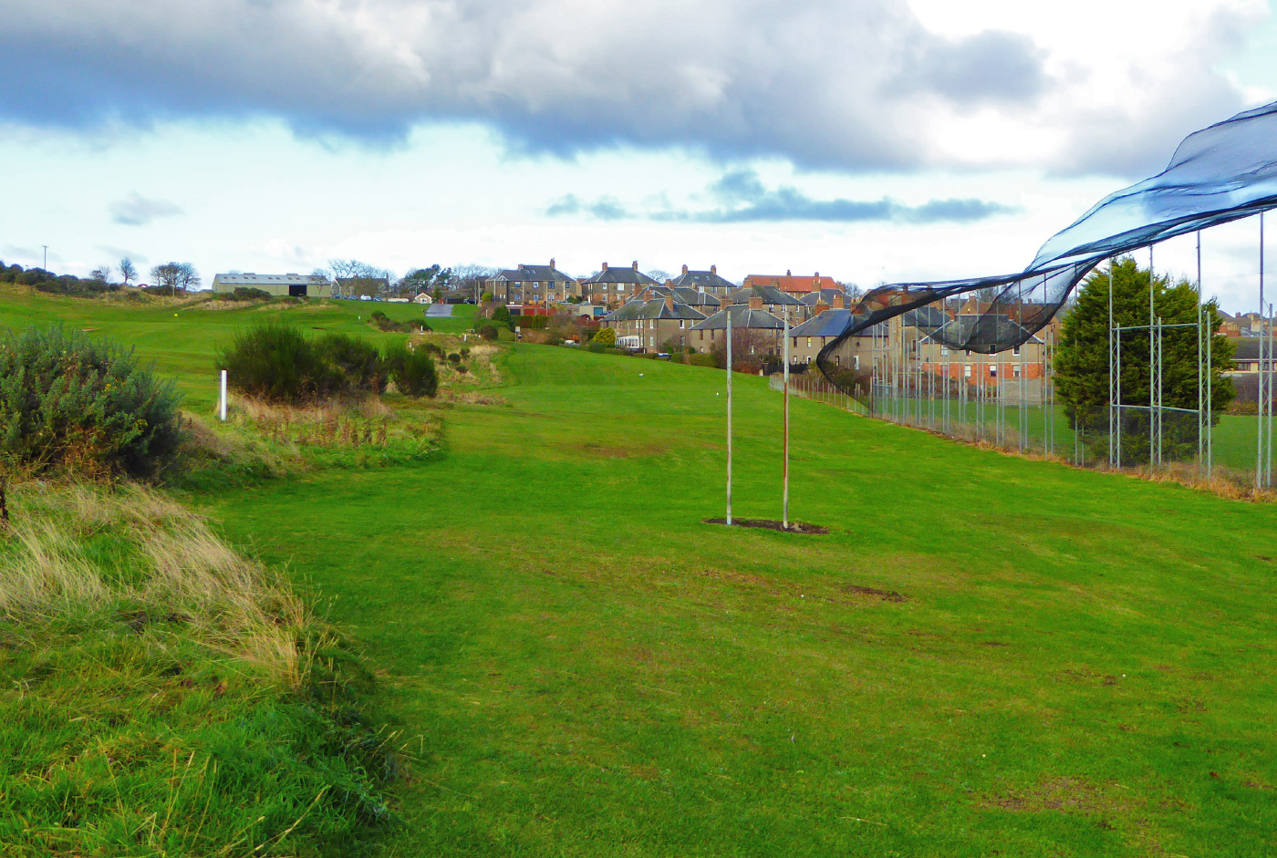
Keep the playground and then the school and the houses to your right. As you approach the barn you will see a tarmac road to its right. Join this and continue straight on, keeping the barn to your left. Cross straight over the road at the top of the hill and then walk in the direction of a row of sheds (which should now be on your right).
This short road is a dead-end but you can walk around the low wall at its far end and then head down the grassy slope on the other side. You should see a field off to your left. Do not turn right onto Burnside Avenue, instead take the pedestrian path that heads off to the left along the edge of the field, in the direction of some new housing.
This is called the Burnside Path. Walk along this path, with the field on your left. You will eventually pass a small pond on your right before emerging at the main road (B923). Cross over the road, turn left along the pavement and then after 10m turn right, away from the road and onto a surfaced path.
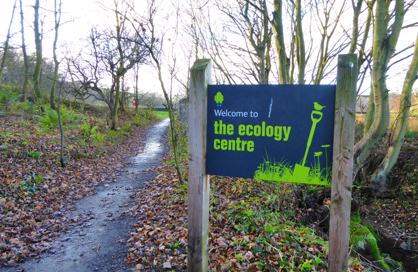
This is the entrance to the Ecology Centre – a community based charity that specialises in environmental education and different growing projects.
When you reach Kinghorn Loch turn right over a small bridge. Follow this path along the loch edge. On your right you can see some of the projects and sculptures that have been developed over the years. When you reach the main building turn right towards the Ecology Centre car park.
Don’t take the road, instead take the surfaced path to your left, which passes alongside the big green containers and buildings on your left. 20m later join a farm road and go straight ahead towards the old houses, still keeping the loch to your left.
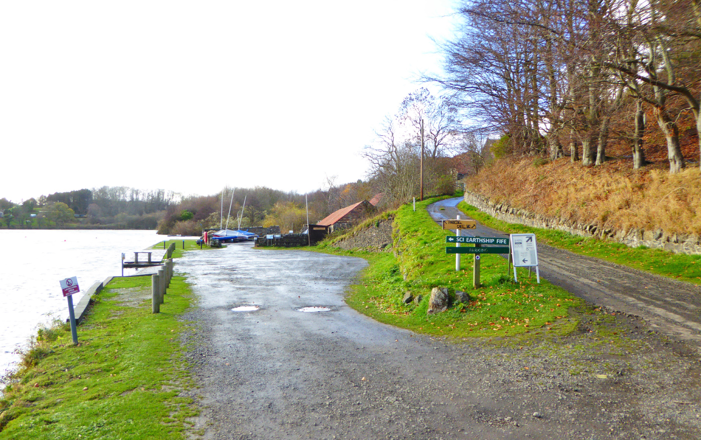
When the road forks, the right turn goes up to the Barn at the Loch café, but you want to take the left turn through the car park towards ‘Earthship Fife’. Go through the old courtyard and then through a big gap in the stone wall at its far end.
A grassy area opens up on your left with picnic benches. Tucked away up the slope to your right is the Earthship, a building made from natural and recycled materials. Carry on along the main path, which eventually reaches a fork where a fingerpost says ‘Public Path to Rodenbraes’. Do not take the Rodenbraes path, instead take the left fork and head downhill to join the main road (B923).
At the road, stay on this side of the road but turn right and walk along the pavement, passing the landfill site entrance. After a few more metres there is a gap in the green metal fence, where a surfaced path heads off to your right.
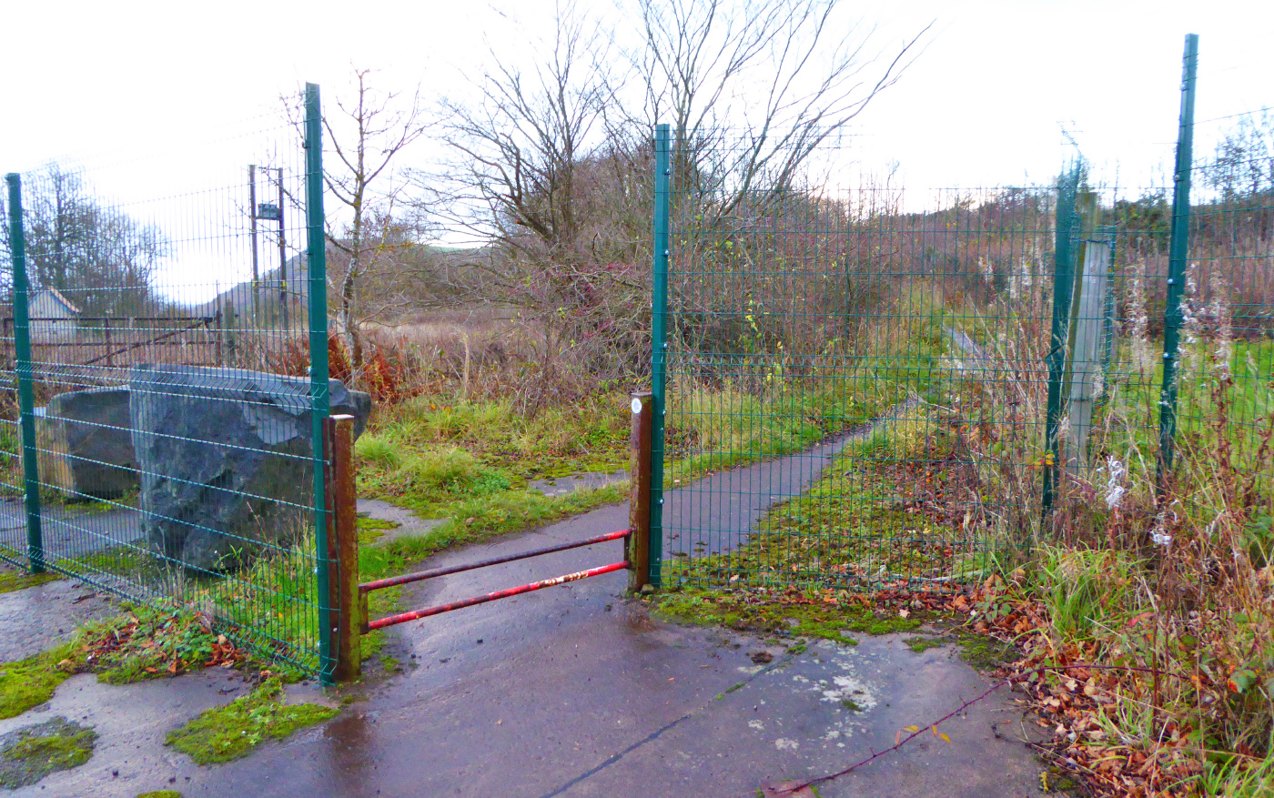
Step over the peculiar low metal railings and follow this mostly-straight path along the metal fence.
After about half a kilometre you reach a picnic area and some information panels on your left. Continue on the straight path as it slowly climbs uphill, ignoring a cycle path that joins from the left. After a few minutes the path passes between a stone wall on your left and a large boulder on your right. Immediately after these you reach a crossroads of rough paths. Carry straight on.
It’s interesting to know that on your right, hidden amongst the scrubby woodland are the ruins of High Binn village. It seems incredible now, but in the 1890s over 500 people lived up here in 95 stone houses, working in the shale oil industry. The last resident left in 1954 and the village has now mostly disappeared.
When the path you’re on eventually leaves the woods behind, it heads up to the left of a field, climbing steeply.
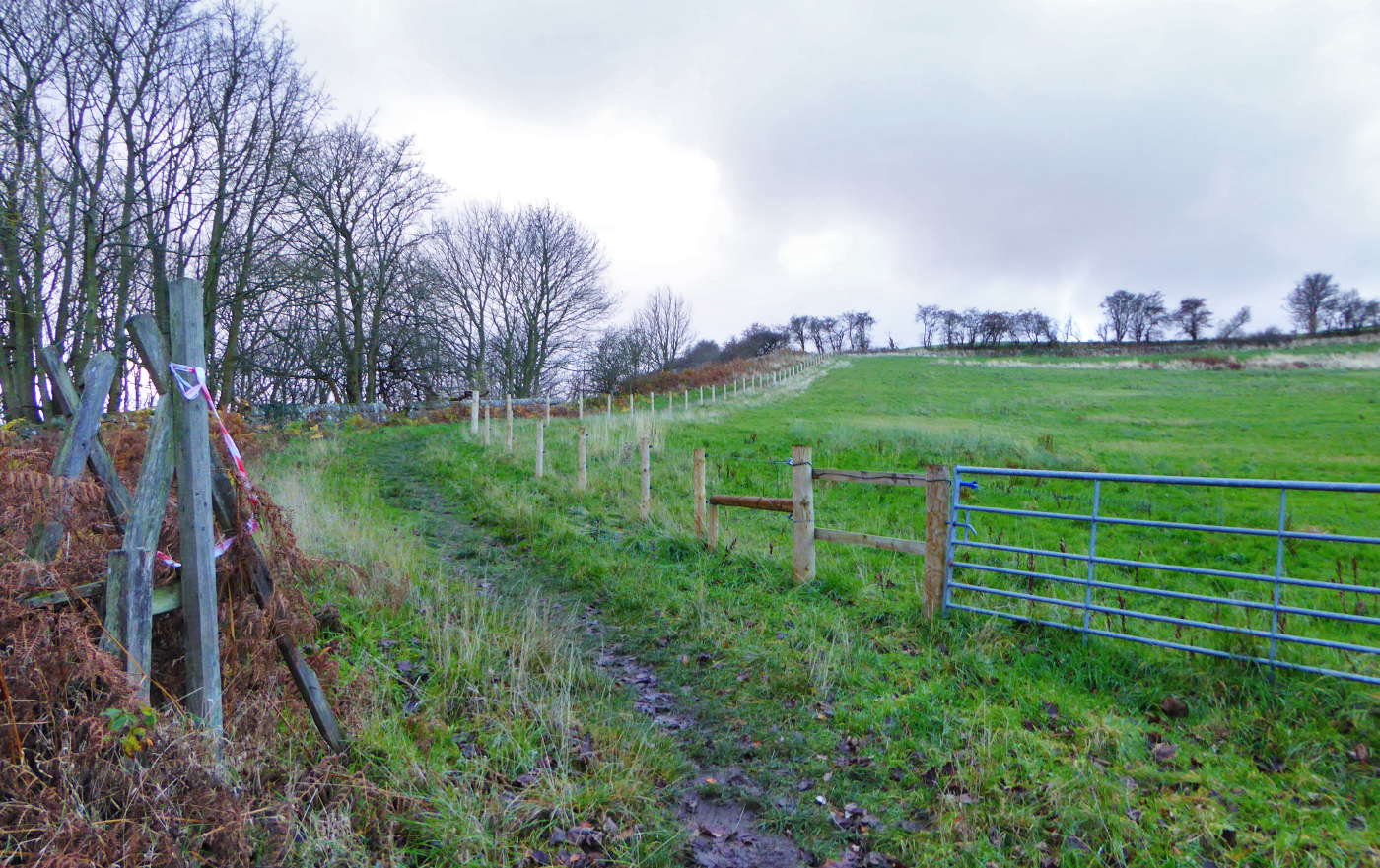
In the top left corner of the field where two stone walls meet, cross over the wall via some stone steps and then follow the path along the edge of another field all the way to the summit, with massive views now opening up on your left. In winter or after very wet weather this stretch can be a bit slippy so mind how you go.
The summit of The Binn, while not particularly high by Scottish standards, has a grandstand view of the Forth and is a fantastic place to linger if the weather’s nice. A viewfinder points out the main sights on the horizon.
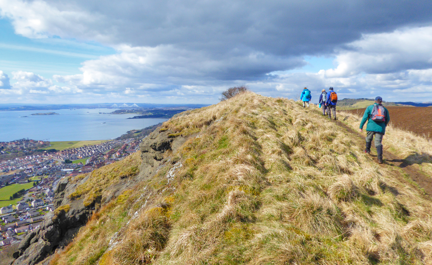
To descend, retrace the route all the way back down the long straight path, past the picnic area, following the green metal fence all the way back to the main road near the landfill site (B923).
At the main road, turn left for 20m or so and then cross over the road towards the farm road that is barred by a big metal gate. It looks unwelcoming but there is a smaller pedestrian metal gate to the right. Go through this and then follow the winding farm road for 1km until you reach the farm buildings. Along the way you get good views back over to Kinghorn Loch.
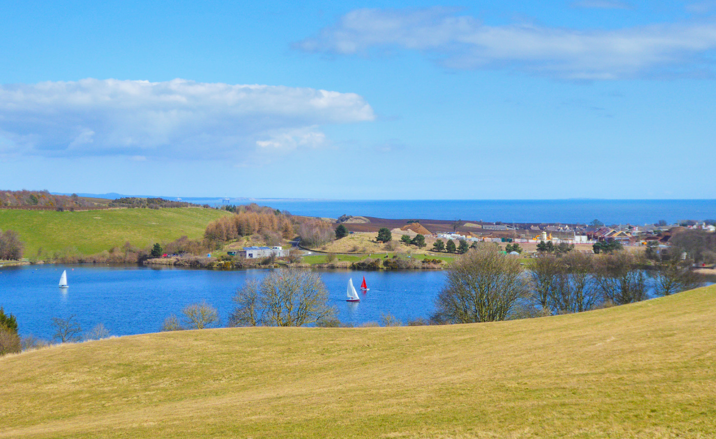
Just before the big barn the track veers to the right, goes downhill and then bends to left around the barn.
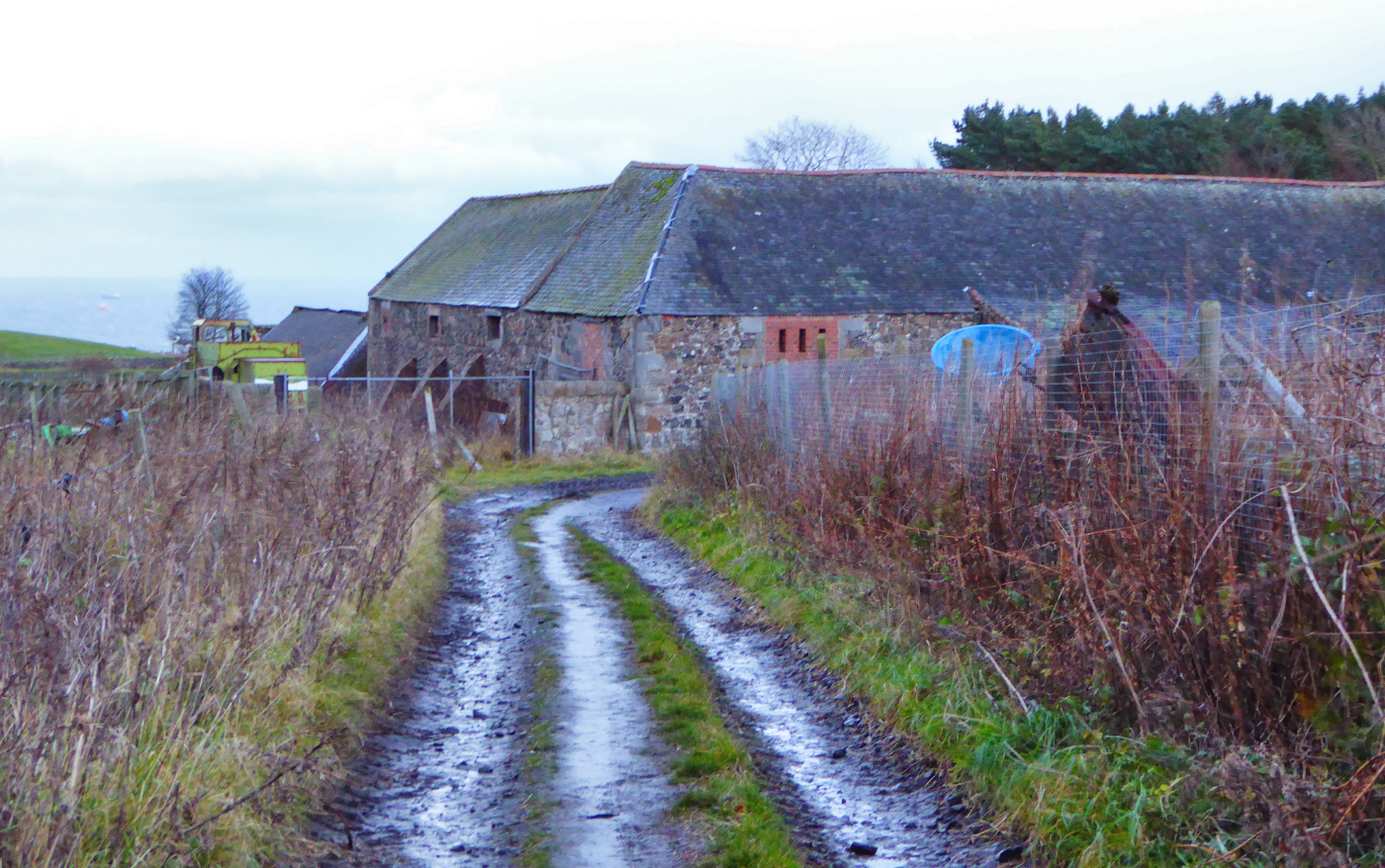
The farm track then climbs uphill away from the farm buildings. Go through another metal pedestrian gate and follow the track straight on, heading towards the sea.
The golf course eventually opens up to your left, and soon afterwards the green static caravans of Pettycur Bay Holiday Park appear on your right. Stay on the track as it bends to the left, and follow it through the golf course all the way back to the clubhouse. Again, access rights do apply but just be vigilant when you’re crossing the course. From the clubhouse, retrace your route back down the steps, over the main road and back to the car park.
Note: These routes are for supporting information only. Anyone venturing into the countryside does so at their own risk and should be properly dressed / equipped for the occasion.
Enjoy Scotland’s Outdoors – know your access rights & responsibilities:
Download the Scottish Outdoor Access Code